12 Scenic Coastal Drives in the US
As participants in Amazon Associates and other programs, we earn from qualifying purchases. This comes at no additional cost to you. For more details, see our Affiliate Disclosure.
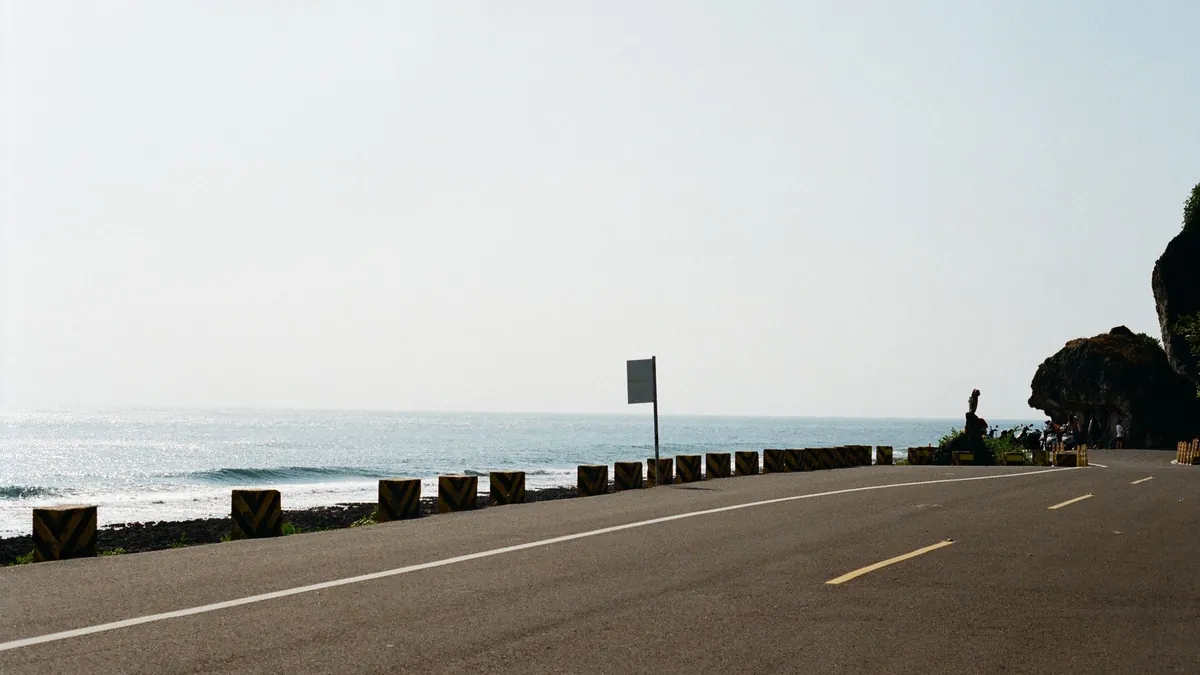
There is a particular kind of freedom that only a coastal road can deliver — salt air through the windows, the Pacific or Atlantic stretching endlessly to one side, and nothing between you and the horizon but asphalt and ambition. The best scenic coastal drives in the US have become cultural touchstones, inspiring bucket lists, road trip playlists, and entire travel identities built around a single highway.
Yet most travelers approach these routes with dangerously little preparation, assuming a scenic drive is simply a leisurely Sunday cruise. Weather, road conditions, vehicle readiness, and seasonal closures can turn a dream itinerary into a genuine ordeal — and knowing the difference between the 12 routes below is exactly where smart planning begins.
1. Pacific Coast Highway (CA-1): California’s Iconic 600-Mile Coastal Masterpiece
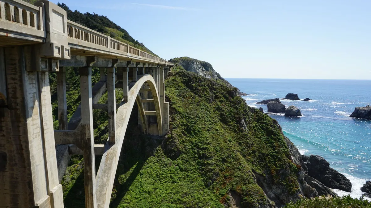
Stretching roughly 600 miles along California’s edge, CA-1 is the undisputed crown jewel of American coastal driving, threading through beach towns, redwood corridors, and dramatic bluffs. It anchors nearly every breathtaking American road trip conversation for good reason.
- Key Reality: Allow a minimum of 3 days to drive it without feeling rushed.
2. Big Sur’s Dramatic Cliffs and Rugged Shoreline Along Central California
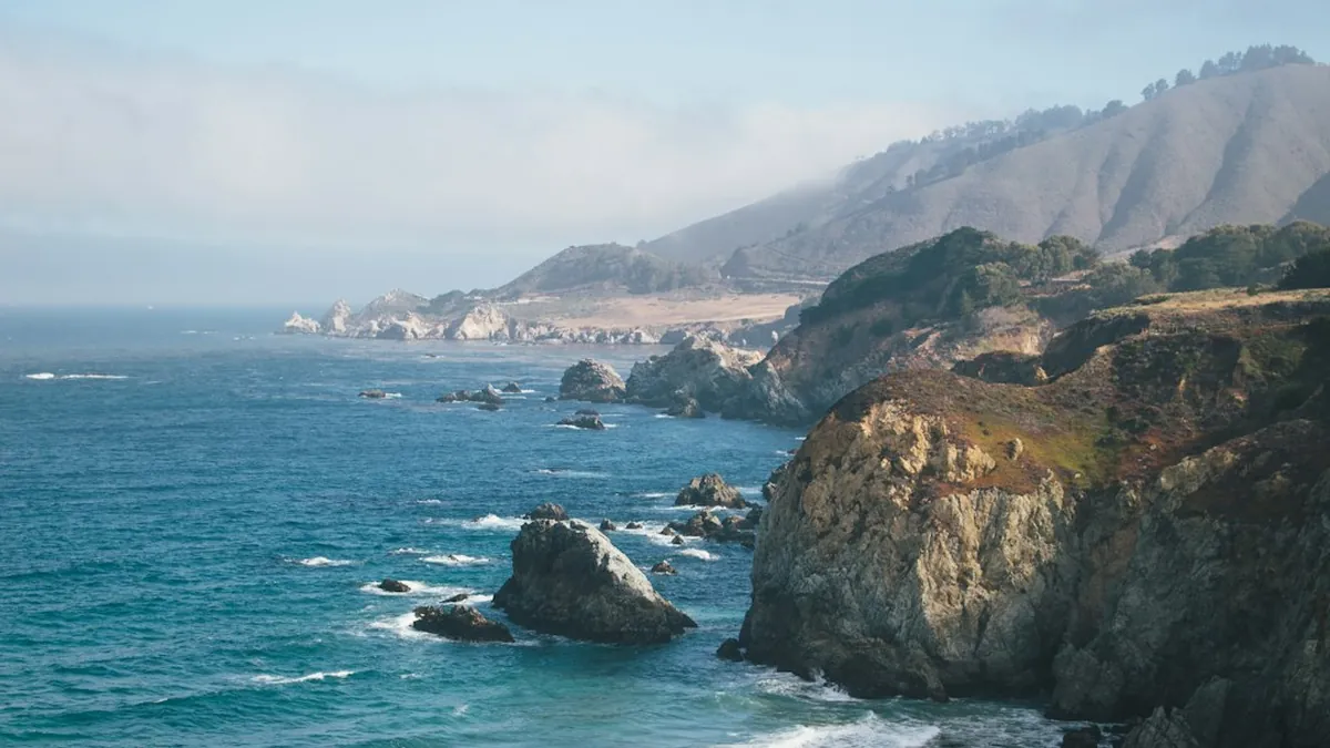
Big Sur is where Highway 1 earns its legend — sheer cliffs dropping hundreds of feet into churning surf, with almost no guardrail between you and eternity. According to US Road Books, the road has been closed for months at a time following significant weather events, including landslides triggered by heavy rain.
- Key Reality: Always check Caltrans road conditions before departing — closures happen with little warning.
3. Florida Keys Overseas Highway: Tropical Island-Hopping Through the Atlantic
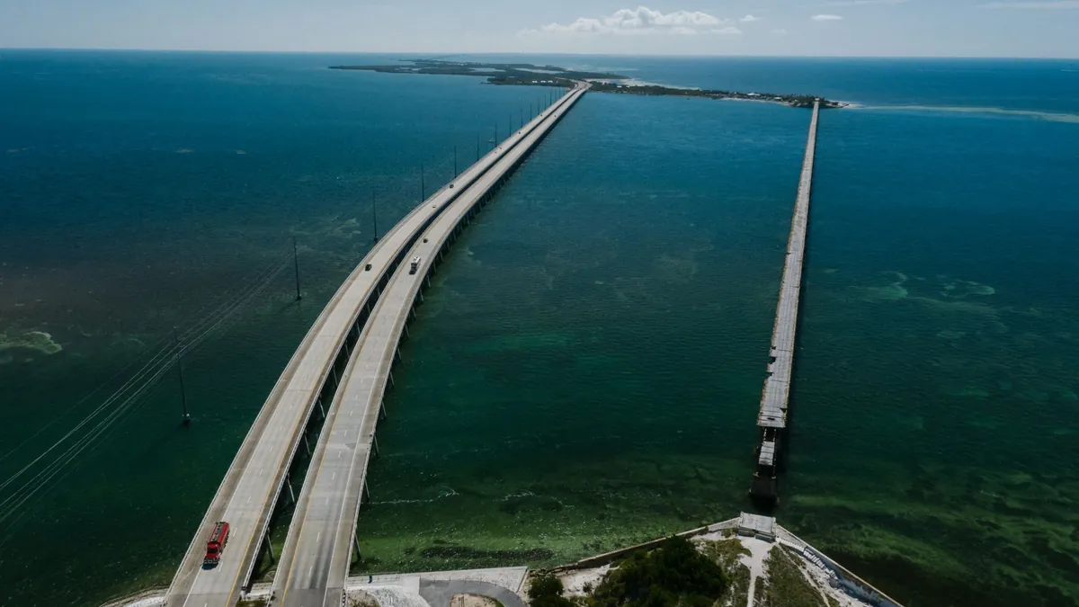
US-1 through the Florida Keys spans 113 miles of bridges, causeways, and impossibly turquoise water, connecting 42 inhabited islands between Miami and Key West. The 7-Mile Bridge alone is a jaw-dropping engineering feat that feels more like flying than driving.
- Key Reality: Hurricane season runs June through November — monitor forecasts closely before booking.
4. Oregon Coast Scenic Byway: Dramatic Headlands and Sea Stack Formations
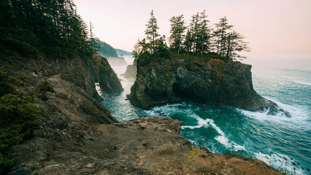
Oregon’s Highway 101 delivers 363 miles of wild, uncrowded coastline punctuated by towering sea stacks, misty headlands, and state parks at nearly every pullout. It rivals California’s famous routes without the traffic or the ego.
- Key Reality: Summer is peak season, but shoulder months offer dramatically fewer crowds and moody atmospheric light.
5. Cabrillo Highway Through Carmel-by-the-Sea and Monterey Peninsula
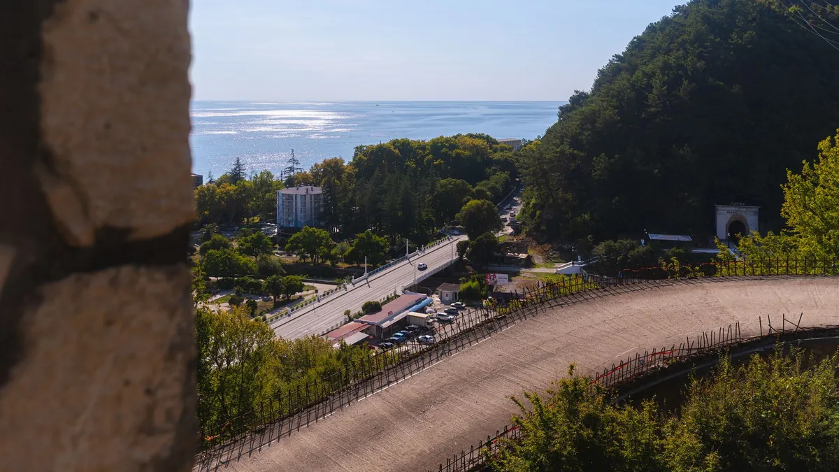
The 17-Mile Drive through Pebble Beach and the Cabrillo Highway connecting Carmel to Monterey form one of California’s most refined coastal experiences, blending world-class golf scenery with Cypress groves and seal colonies. Admission to the 17-Mile Drive costs around 12 dollars per vehicle.
- Key Reality: Carmel-by-the-Sea has almost no street addresses — navigation apps frequently fail here.
6. Bixby Bridge and Surrounding Big Sur Engineering Marvel Viewpoints
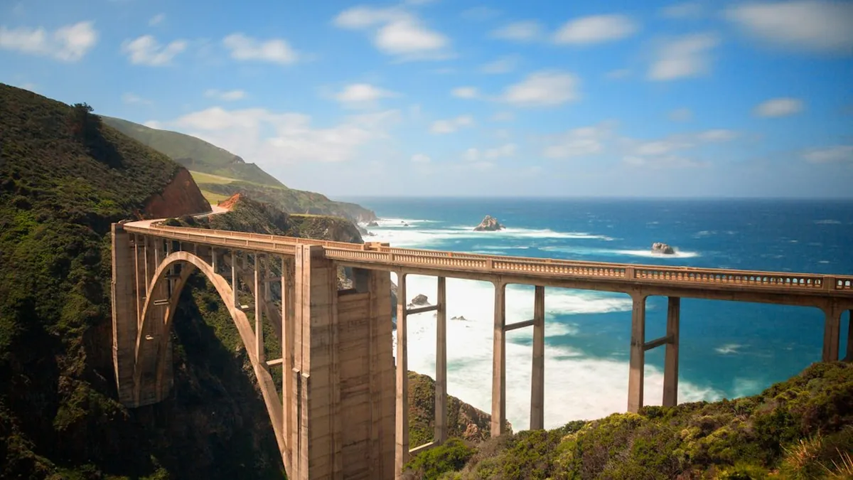
Bixby Creek Bridge, completed in 1932, spans 714 feet across a dramatic canyon and remains 1 of the most photographed structures on the entire Pacific Coast. Fog rolling through the canyon at dawn creates a scene so cinematic it barely feels real.
- Key Reality: Dense fog can make the bridge approach genuinely dangerous — patience until late morning is smart judgment, not timidity.
7. Cape Perpetua Scenic Loop: Oregon’s Highest Coastal Viewpoint Experience
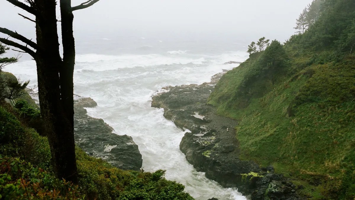
Cape Perpetua, rising 800 feet above the Pacific, offers Oregon’s single most commanding coastal panorama — a sweeping view of forested headlands, crashing surf, and tidal pools teeming with life. The scenic loop road is short but demands multiple stops.
- Key Reality: The Siuslaw National Forest day-use fee applies — budget around 5 dollars per vehicle.
8. Acadia National Park Loop Road: Maine’s Rocky Atlantic Coastline
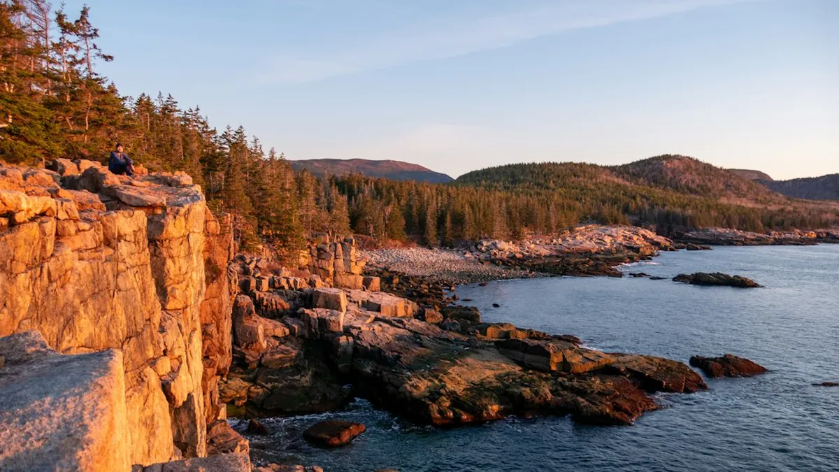
Maine’s Park Loop Road through Acadia delivers 27 miles of granite headlands, cobblestone beaches, and some of the most dramatically rugged Atlantic scenery in North America. Cadillac Mountain, accessible via a spur road, is 1 of the first places in the US to see sunrise.
- Key Reality: Timed entry reservations are required for Cadillac Mountain Summit Road during peak season.
9. Outer Banks Scenic Byway: North Carolina’s Barrier Island Coastal Route
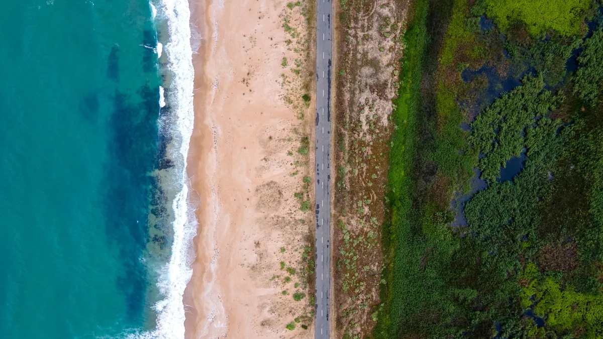
North Carolina’s Outer Banks stretch 100 miles of narrow barrier islands, wild horses, and lighthouse-studded shoreline along NC-12 — a route that feels genuinely remote despite being a short drive from major East Coast cities. It’s a natural fit alongside the best fall road trips in North America for its October colors and emptied beaches.
- Key Reality: Ferry crossings are required at certain points — check schedules in advance to avoid long waits.
10. Highway 1 Through Mendocino County: Northern California Redwood Meets Ocean
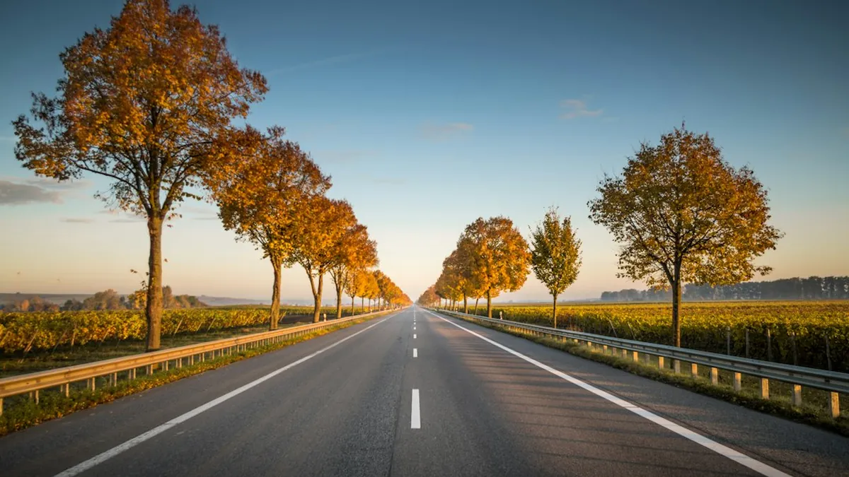
North of San Francisco, Highway 1 through Mendocino County trades the glamour of Big Sur for something quieter and arguably more authentic — fog-wrapped redwood groves tumbling down to black-sand beaches and Victorian fishing villages. This stretch rewards slow drivers who actually stop.
- Key Reality: Cell service is nearly nonexistent for long stretches — download offline maps before departing.
11. Pismo Beach to Hearst Castle Coastal Drive: Central California Gem Route
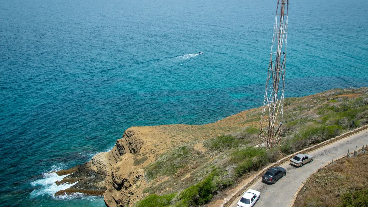
The 45-mile stretch between Pismo Beach and Hearst Castle along Highway 1 is one of Central California’s most underrated drives, passing elephant seal colonies, rolling golden hills, and the surreal hilltop opulence of San Simeon. Hearst Castle tours start at around 30 dollars per adult.
- Key Reality: The Piedras Blancas elephant seal rookery is free to visit and peaks in January with thousands of animals.
12. Maui’s Road to Hana: Hawaii’s Lush Tropical Coastal and Waterfall Journey
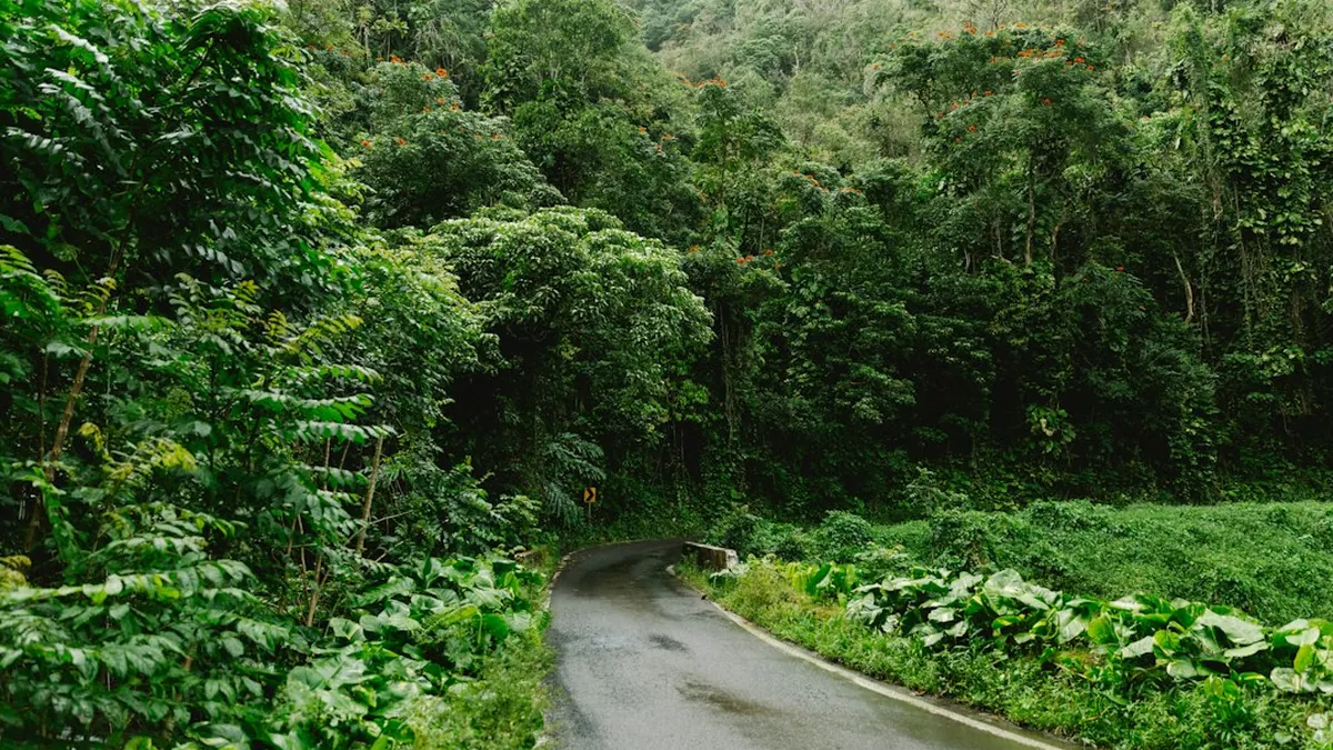
The Road to Hana winds 64 miles through 59 bridges and over 600 curves, threading past black-sand beaches, bamboo forests, and cascading waterfalls on Maui